Kaapelihylky
Also known as: Cable Wreck
17th-century Dutch oak trader at 17m in Hanko's Hauensuoli wreck park, one of the oldest publicly diveable wrecks in Finland.
Last updated April 2026
The dive
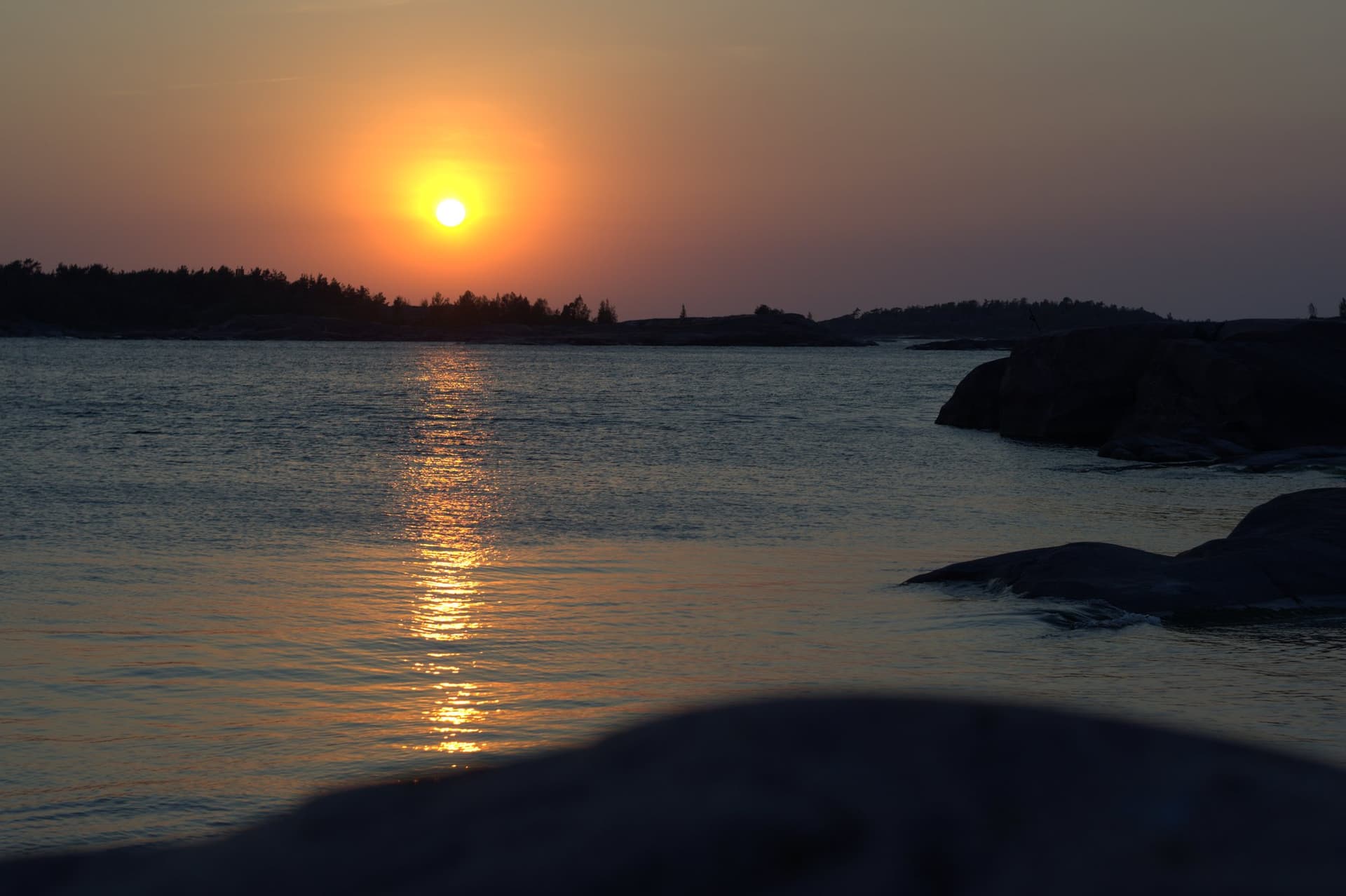
A short boat hop from Hanko Itäsatama, the standard programme drops you on the mooring buoy above the wreck. Descend the line into green Baltic water and a seabed guideline carries you to the hull at 17 metres. Visibility might be five metres or fifteen depending on the day, and the bottom mud lifts on the slightest fin contact. Move slowly along one side, looking down into the bow framework where the stem still stands and the deck-beam knees rise to original deck level. The pegged log windlass sits forward of the bow, heavily worn but identifiable on a calm day. Side planking is scattered to the seabed; the stern is more broken than the bow. The rudder, last seen above the sediment in the 1980s-90s, is buried now. From the wreck, the seabed guideline arcs north or northwest toward Kobben East and Kobben Northeast at around 10 metres. Most operators link all three wrecks on a single dive — the multi-wreck route is the standard experience here, not an upsell. Bottom-time math at 17 metres on air is straightforward for OW-certified divers in drysuits.
What makes it special
This is the oldest publicly diveable wreck on the Hauensuoli route and one of the oldest in Finland. It is registered as fixed underwater monument 1392 in the Finnish Antiquities Register and listed by hylyt.net among the seven most important wrecks in the national heritage canon. The vessel is a Dutch-style kaljuutti, a single-masted grain trader with bilateral drag keels, 18.4 metres long and 4.9 wide. Three reasons divers pick it specifically over the area's other Hauensuoli wrecks. First, age: at roughly 370 years it predates everything else on the buoyed route. Second, accessibility — depth sits inside the OW limit, the descent line is fixed for the season, and the seabed guideline lets a single dive cover three wrecks. Third, surviving form: the hull is still distinguishable rather than reduced to scattered timbers, so divers see a ship and not a debris field. The Baltic's brackish salinity, around 5-7 ppt, has no shipworm; that single physical fact is why a 17th-century oak hull is still standing in 17 metres of water.
History and origin
The hylyt.net record, compiled by Vaheri-Hyvärinen-Saari in 1996 from earlier surveys, identifies the vessel as a Dutch kaljuutti carrying barrelled grain to Finland around the time of the Treaty of Westphalia. Pumping and clearance work by the Maritime Archaeology Office recovered a Delft tile-stove for crew cooking, with one tile bearing a drawing of a Dutch ship; oversized 40 kg tallow blocks; a clay pipe; and a decorative carving. The Heritage Agency dates the wreck to the 17th century, with the 1647 or 1648 sinking date resting on Dutch-museum dating of blue-patterned tile fragments. The same official record documents Gouda clay pipes recovered from the wreck, one dated 1667-1700 and another estimated around 1715. The pipe dating postdates the proposed sinking and the published archaeology has not publicly reconciled the two — the register presents both without resolution. The pipes might be later visitor debris, the tiles might be cargo from an earlier voyage, or the canonical date may need revision; no public reconciliation appears to have been published. Investigation history runs back over fifty years: Risto Halme excavations 1974-76, underwater inventories by Rami Kokko and Mari Salminen in 2007-08, side-scan sonar in 2015, and the 2017-19 Baltacar work that put in the mooring buoy, the seabed guideline and the photogrammetric 3D model now hosted on Sketchfab. The site record was last updated 2 September 2025.
Know before you go
Buoyancy is the dive. The mud silts out in seconds and you cannot un-stir it. Hover, do not settle. Drysuit certification is expected by local operators, with a tested suit and at least a few prior cold-water dives behind you; first-time drysuit divers should not pick this as their first cold-water wreck. The Antiquities Act is categorical: no entry, no touching, no recovery, no anchoring on or near the wreck, no clipping guidelines to wreck timbers. Carry compass, SMB and primary torch. In dense plankton water the torch backscatters and is better off; on a clear day it picks out the bow framework. Two operators run the standard programme. Hanko Diving (Par Mare) operates m/s Atlanta from Itäsatama on the Hauensuoli route; Sukelluskoulu Aalto is the official Baltacar partner and the documented English-language entry point, with bookings via Varuste.net. The Sketchfab 3D model is worth a look before you go — when surface visibility is five metres, knowing the layout matters.
Why Dive Kaapelihylky
What makes this dive site stand out.
- 117th-century Dutch oak wreck
Dutch-style kaljuutti grain trader, 18.4m x 4.9m, hull form still distinguishable
- 2Heritage Agency record 1392
Canonical kyppi.fi entry with GPS coordinates and active 2025 record updates
- 3Multi-wreck guided route
Seabed guideline links Cable Wreck to Kobben East and Northeast on a single dive
- 4Brackish-water preservation
Baltic ~5-7 ppt salinity has no shipworm so 17th-century oak survives
- 5OW-accessible park dive
17-18m, mooring buoy, no permit, outside the Russarö military firing sector
Depth & Profile
Location
59.8069°N, 22.9091°E
Conditions
Difficulty & Certification
Easy by depth on a fixed guideline; moderate by environment due to cold water, drysuit competence, and a silt-out-prone bottom.
Frequently Asked Questions
How old is the Cable Wreck and how do we know?▾
Do I need a permit to dive Kaapelihylky?▾
Is the Cable Wreck affected by the Russarö military zone?▾
What does a typical dive look like?▾
Why is there almost no fish life on the dive?▾
How does Kaapelihylky compare to the other Hanko wrecks?▾
Can I see the wreck before I dive it?▾
Photos
Every dive has a story. Share yours.
Log your dives - notes, photos, conditions and the marine life you saw - and share them as one public diver profile. What you share helps the next diver, too.
Log every detail
Depth, duration, conditions, gear, buddy, notes — all in one place. Import from Suunto and other dive computers.
Track marine life
Record species sightings on each dive. Build a personal catalogue of everything you've seen underwater.
Your public dive profile
Share your dive history, stats, and experiences with a profile page you control. Show the world where you've been.