
Diving in Tubbataha Reefs
No-take atoll park in the middle of the Sulu Sea, dived only from a liveaboard after an overnight crossing, with the whitetip densities UNESCO cites.
Last updated October 2026
Overview
Whitetip reef sharks are what Tubbataha is known for. UNESCO's listing says the property supports the highest population densities known in the world for the species1, and the park's 2025 shark survey, an average of seven sharks per hectare across 18 dives, found whitetip and grey reef sharks making up 96 percent of sightings2. Triggerfish City and Shark Airport were the most active sites, and one school at Triggerfish City held 26 grey reef sharks. Green and hawksbill turtles are the steady company. Mantas, hammerheads and whale sharks are a bonus that does not come every week.
The diving is wall diving. Divers describe walls that begin at 12 to 15 metres and drop past recreational depth into sea averaging 750 metres, worked as a drift along blue water at 20 to 25 metres, then multi-levelled back to the reef top for the last third. Some repeat liveaboard divers find the walls uniform beside Komodo or Raja Ampat. Over the drop-offs come the sharks and the schooling fish: bigeye trevally, barracuda and bumphead parrotfish, with titan triggerfish giving Triggerfish City its name.
The statutory dive map annexed to the 2025 tourism rules marks 17 dives3. Eight are on the North Atoll: Shark Airport, Washing Machine, Seafan Alley, Wall Street, Amos Rock, Terraces, Malayan Wreck and South Park, which sits on the North Atoll rim despite its name. Seven are on the South Atoll: Triggerfish City, Black Rock, Delsan Wreck, Staghorn Point, Ko-Ok, T-Wreck and South West Wall. Two are at Jessie Beazley Reef, JB West and JB East. Roughly 30 percent of the atolls' circumference is dived at all4.
The protection is old and layered. Presidential Proclamation 306 made it a no-take park in 1988, UNESCO inscribed it in 1993, and Republic Act 10067 gave it its own act of Congress in 20104. The act sets the park at 97,030 hectares5; UNESCO and Ramsar record the property at 96,8286. Counts of life vary by counter and year: UNESCO's current text gives over 360 coral species and almost 700 fish, and the park's 2025 report records over 800 fish2.
The reef has lost ground in places. The 2025 monitoring found shallow hard coral steady since 2022 while coral cover and fish biomass declined at the deeper stations, and water temperature passed 30 degrees for a third consecutive year2. Patches of regrowth sit beside the decline.
Planning your visit
Book the berth before the flight. Every dive is run from an accredited liveaboard: the park has no shore access, no day boat and no accommodation, and the park office states that it runs no commercial trips. The Tubbataha Protected Area Management Board is the sole policy-making and permit-granting body5, so you never apply to the park. The operator holds an annual permit to operate and a seven-day vessel entry permit for each trip, and you book a berth and pay the conservation fee through the vessel. Berths go early, and the best weeks can sell a year ahead. The rules set no daily limit on divers, and a carrying-capacity study was underway when the current management plan was written4.
Fly to Puerto Princesa. Guests go aboard between six and eight in the evening for waivers, a park briefing and a coast guard check, and nobody dives that day. The park authority measures 92 nautical miles to the park4, and operators quote nearer 150 kilometres, so expect the figure to vary; the crossing runs 10 to 12 hours overnight. The usual trip is six nights and about 16 dives in all, at up to four a day: first dive on the morning of day two, with a sunset dive among them, whole days on one atoll before the boat repositions, and Jessie Beazley as a single stop on the way in or out. Most trips leave from Puerto Princesa. A minority start elsewhere, such as an eight-day route out of Negros that calls at Cagayancillo, the municipality the park belongs to.
Plan around weather, because no law closes the park. Rough seas run November to March under the northeast monsoon, and moderate northeast winds between mid-March and June give the calm that allows regular visits4. Trips cluster from mid-March to mid-June, yet the park's records show the 2024 season starting on 20 February and ending on 29 July7. Water runs 28 to 29 degrees on divers' logs and repeat visitors wear a 3 mm full suit. Visibility is generally excellent, with 35 metres logged on a good day. Current is variable, mild across whole trips and enough to turn a dive on others.
The board sets conservation fees by resolution and not by statute8, so they move between seasons: the current schedule is in the fee note, paid in pesos before each entry at one rate for every visitor, diver or not9. A dive professional leads every dive, at no more than eight divers to one professional. Keep two metres from any animal; touching, feeding, chasing and blocking its path are all prohibited3. Gloves are barred without a medical certificate, and a guide may not carry a camera while working, which matters if you meant to hire one to film you. Nothing anchors, so vessels tie to numbered moorings. Uncertified divers may not scuba dive here, and decompression dives need prior certification, training and equipment. The islets and lagoons are closed to landing and, without authorisation, to diving, and vessels keep 100 metres off the islets. Entering without authorisation carries six months to a year in prison and a fine of PHP 100,000 to 300,000, and reef damage is fined at not less than PHP 12,000 per square metre plus restoration8.
The rules name no grade above certified, yet this is repetitive wall diving, up to four dives a day over water that runs past 100 metres, and it rewards experience and gas discipline. Nitrox earns its keep, and at least one vessel puts every guest on 31 to 32 percent. Decide the evacuation question before you pay. There is no evacuation from the reef itself: in 2024 a crew member with appendicitis was reached by the coast guard only once the vessel was back near Puerto Princesa, and a guest who dislocated a hip was returned to the city for surgery7. A chamber at the end of the crossing may not be working, so dive conservatively all week and hold insurance that pays for hyperbaric treatment.
Geology & underwater terrain
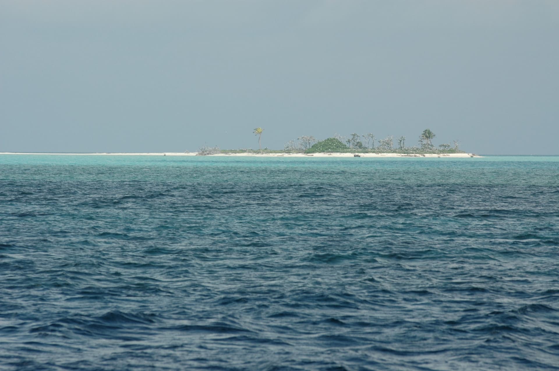
Two true atolls and an emergent coral cay rising from open sea that averages 750 metres deep, with reef edges that fall as walls past 100 metres.
Dive sites in Tubbataha Reefs
The diving here splits into 3 zones:
- North Atoll
- — The ranger station stands on the southern end of its lagoon rim, and most itineraries give it whole days at a time. Shark Airport, Washing Machine, Seafan Alley, Wall Street, Amos Rock, Terraces, Malayan Wreck and South Park.
- South Atoll
- — Vessels reposition here for a second block of days. Triggerfish City, Black Rock, Delsan Wreck, Staghorn Point, Ko-Ok, T-Wreck and South West Wall.
- Jessie Beazley Reef
- — An emergent coral cay north-west of the two atolls, added to the park in 2006. Usually a single stop on the run in or out, with JB West and JB East.
Marine life
When to dive
- Best season
- Mid-March to mid-June
- Water temperature
- 28 to 29 C on divers' logs; the park recorded more than 30 C in 2025
No law closes the park. Rough seas run November to March under the northeast monsoon, and moderate northeast winds from mid-March to June give the calm that allows regular visits. In 2024 the first vessel entered on 20 February and the last left on 29 July.
Safety considerations
What can go wrong here, and what divers do about it. Conditions change - take the briefing from the operator on the day.
- Remote location: The park is about ten hours by sea from Puerto Princesa and there is no evacuation from the reef itself. In 2024 a crew member with appendicitis was reached by the coast guard only once the vessel was back near the city.Dive conservatively all week, hold insurance that pays for hyperbaric treatment, and agree with the vessel before departure how an injured diver would be moved.
- Depth: The walls fall past 100 metres, so there is no bottom to catch a runaway descent, and up to four dives a day across a six-night trip stack repetitive profiles.Use nitrox, watch ascent rate off the wall, and treat decompression diving as barred unless you carry the certification, training and equipment.
- Marine life: Titan triggerfish defend nests in breeding season and will bite a diver who ascends over the nest, including on the way to a safety stop.Move away horizontally from a nesting fish, never upward through the water column above it.
- Current: Current is variable: mild for whole trips, strong enough to turn a dive on others.Carry an SMB and reel, stay with the guide and accept the site order the vessel sets.
- Conditions: Puerto Princesa appears on a national programme list of hyperbaric chamber locations, but whether a chamber there is working at any given time is uncertain.Plan gas and profiles as if the nearest working chamber were a flight away.
Rules and permits
National rules also apply: Rules and permits in Philippines
Frequently Asked Questions
Is Tubbataha closed outside March to June?▾
No law closes it. Republic Act 10067, the 2024 implementing rules and the 2025 tourism rules give no dates, and the park authority explains the window by weather: rough seas from November to March, then moderate northeast winds from mid-March that calm the water. Operators sell mid-March to mid-June, but the park's own record has the 2024 season opening on 20 February and closing on 29 July. The vessel's schedule for your year is the date that counts.
Is there a dive centre at Tubbataha, or does the park run the trips?▾
Neither. The park has no land a business could occupy, and the park office states that it does not run commercial trips. Accredited liveaboard companies do. In 2025 the park recorded 219 dive trips on 16 dive boats carrying 3,604 tourists; two of those boats belong to one company under two brand names, so the boat count says little about how many operators there are.
Is there a limit on how many divers can enter each day?▾
The rules set none. The board may limit visitors on carrying capacity, and a study to find the maximum was underway when the 2022 to 2031 management plan was written. A daily figure quoted anywhere else is a guess from fleet size. What is written down is the ratio in the water: a dive professional leads every dive, at eight divers to one professional at most.
Is night diving banned, and are dives capped at 60 minutes?▾
Neither appears to be a park rule. Some operators present both as park regulation, yet neither turns up in the act, the implementing rules or the tourism rules. Dives do tend to run about an hour in practice, and a sunset dive is part of the four-dive day on many vessels. Ask the vessel what it does and treat the answer as its own policy.
Is Tubbataha worth it for divers who like macro and colour?▾
It is wall and shark diving, and some repeat liveaboard divers find the walls uniform next to Komodo or Raja Ampat. The pull is whitetip and grey reef sharks, turtles, schooling fish on the reef tops and a park where most of the atoll circumference is never dived. The reef is also changing: hard coral is in decline in places beside patches of regrowth, which the park's own monitoring records.
Will I see mantas, hammerheads and whale sharks?▾
Treat them as possible, not expected. Reef sharks and turtles are the constants. Full weeks pass with no manta, no hammerhead and no whale shark, and a whale shark is very unlikely outside plankton season.
Did the USS Guardian do the worst damage the reef has taken?▾
No, though it is the one remembered. The USS Guardian, a US Navy mine countermeasures ship, ran aground on the northwest side of South Shoal in the South Atoll at 2:20 in the morning on 17 January 2013; nobody was injured, no fuel or oil leaked, and the last piece of the ship was off the reef by 30 March. The damage was assessed at 2,345.67 square metres. On 8 April 2013 the Chinese fishing vessel Min Ping Yu grounded in the North Atoll and damaged 3,902 square metres, about two thirds more. Nine years later the management plan recorded that the damaged areas had yet to fully recover.
Also known as: Bahurang Tubbataha, TRNP, Tubbataha Reef Marine National Park, Tubbataha Reefs Natural Park
References
- 1.UNESCO World Heritage Centre, June 26, 2009 — Tubbataha Reefs Natural Park
- 2.Tubbataha Management Office — Tubbataha Management Office, 2025 Annual Report
- 3.Tubbataha Protected Area Management Board, May 28, 2025 — TRNP Tourism Rules and Regulations of 2025, Annex A to TPAMB Resolution No. 25-03
- 4.Tubbataha Management Office — TRNP Protected Area Management Plan 2022-2031
- 5.Republic of the Philippines, April 6, 2010 — Republic Act No. 10067, Tubbataha Reefs Natural Park Act of 2009
- 6.Ramsar Sites Information Service, November 12, 1999 — Tubbataha Reefs Natural Park, Ramsar Site no. 1010
- 7.Tubbataha Management Office — TRNP Tourism Report 2024
- 8.Tubbataha Protected Area Management Board — Revised Implementing Rules and Regulations of Republic Act No. 10067, Administrative Order No. 1, series of 2024
- 9.Tubbataha Reefs Natural Park — Permits and Fees
Every dive has a story. Share yours.
Log your dives - notes, photos, conditions and the marine life you saw - and share them as one public diver profile. What you share helps the next diver, too.
Log every detail
Depth, duration, conditions, gear, buddy, notes — all in one place. Import from Suunto and other dive computers.
Track marine life
Record species sightings on each dive. Build a personal catalogue of everything you've seen underwater.
Your public dive profile
Share your dive history, stats, and experiences with a profile page you control. Show the world where you've been.