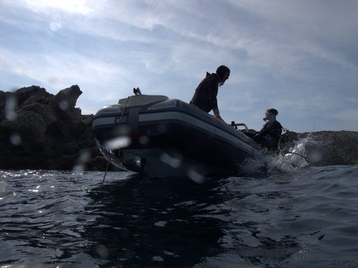
Sotamar Diving Center
SSI Instructor Training Center in Cadaques since 1996, guided dives to 25+ sites in Cap de Creus Natural Park plus a blue shark snorkeling program.
SSI7 services4 languages
Sheltered Cap de Creus cove below the lighthouse, layering Roman and medieval shipwreck excavation sites over Posidonia meadows and a shallow rocky ridge.
Last updated May 2026
A small rocky island sits just offshore, and from it a ridge of Paleozoic metamorphic rock runs outward for about 100 metres. That ridge is the spine of the dive. Drop over either side and you descend through clouds of damselfish onto Posidonia meadows at 5-10 metres. Red starfish dot the rocky surfaces. The terrain breaks further out into rocky beds where small moray eels tuck into crevices, sometimes barely a metre below the surface. Past the ridge, the seabed slopes toward 25 metres, and the visible hollows of earlier wreck excavations mark the deeper part of the cove. Salema schools work across the meadows above the route. The cove is sheltered from the northwest, so when Tramontana shuts down exposed sites like Illa Messina or Massa d'Or, this corner of the headland often stays diveable.
Six ancient vessels are documented in this cove. The 1st-century Roman trader Culip IV carried amphorae of Baetican olive oil, Gallic fineware, and Roman clay lamps; a 13th-century medieval ship known as Culip VI was also excavated here. Both were lifted by the Centre d'Arqueologia Subaquatica de Catalunya, with the first monograph on the site published in 1996. Some accounts of the excavations describe the cultural register that has come to surround the cove: novelist Arturo Perez-Reverte's 2012 piece on the CASC team working at twenty-five metres, and a 2,000-year-old triton-shell horn the team raised from the wreck and reportedly sounded again. Whatever the embellishment, the cove's identity is set by archaeology more than by the dive profile itself: hollows on the seabed mark where the timbers came up, and the regulation against touching anything has specific weight here.
Parking at the lighthouse road lot fills early in summer; arrive by mid-morning or take the coastal path from Cadaques. The cove is sheltered from the Tramontana, which is a real advantage when the area's exposed pinnacles are unworkable. A summer thermocline drops surface temperatures from around 23C down to about 14C below 15 m, so bring thermal protection for depth, not surface warmth. Multiple Cadaques-side dive centres include the headland in their boat circuits. Independent divers must notify park management in advance and carry certification, ID, a logbook, and a medical clearance under two years old. Training and certification dives are not allowed in the partial reserve's no-fishing sectors. Night diving inside the reserve needs special authorization.
What makes this dive site stand out.
At least six wrecks documented, including the 1st-century Roman Culip IV and 13th-century Culip VI
100 m ridge from a small inshore island, snorkel-friendly tops with Posidonia on both flanks
Walk-in from the lighthouse road parking, or boat trips from Cadaques-side centres
Cove faces away from the dominant northwest wind that closes exposed Cap de Creus sites
42.3209°N, 3.3108°E
Book a guided dive at this site.
SSI Instructor Training Center in Cadaques since 1996, guided dives to 25+ sites in Cap de Creus Natural Park plus a blue shark snorkeling program.
Get in touch to add or claim your dive center listing on DiveCodex.
Easy in the sheltered shallows. Moderate at depth, less from currents than from the cold water below the summer thermocline.
Log your dives - notes, photos, conditions and the marine life you saw - and share them as one public diver profile. What you share helps the next diver, too.
Log every detail
Depth, duration, conditions, gear, buddy, notes — all in one place. Import from Suunto and other dive computers.
Track marine life
Record species sightings on each dive. Build a personal catalogue of everything you've seen underwater.
Your public dive profile
Share your dive history, stats, and experiences with a profile page you control. Show the world where you've been.