Cala Pedrosa
Secluded pebble cove between Tamariu and Llafranc, foot-access only via GR92. Shallow granite reef to 10m, best for snorkeling. Exceptional water clarity.
Last updated April 2026
The dive
The name means "Rocky Cove" and the cove earns it. No sand at all: rounded pebbles, exposed granite boulders, and then water that visitors describe as among the clearest on this stretch of coast. Water shoes go on before you step onto the rocks, not after. Sea urchins cover the granite surfaces near shore in numbers that make entry without protection a bad idea. Past that zone, the reef opens onto crevices and small overhangs running to about 10m at the outer edge. The natural light at these depths is strong enough for photography without a torch. Octopus and morays work the rock. Sea bream pass in loose schools. At 3-8m with negligible current, a single tank stretches past an hour without effort.
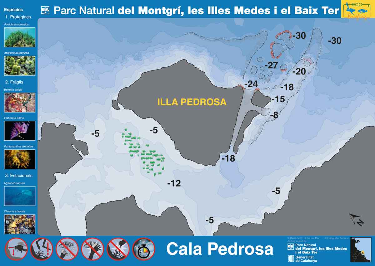
Illustration: Parc Natural del Montgrí, les Illes Medes i el Baix Ter — Generalitat de Catalunya
What makes it special
Cala Pedrosa is not a dive destination in the way Cap de Begur or Furió Fitó are. No center runs trips here. There is no mooring line. What the cove offers instead is isolation and clarity. You reach it after 15 minutes on the Cami de Ronda from Tamariu, and outside peak season you often have it to yourself. For snorkelers, that combination is hard to beat on the Costa Brava. For divers, the honest comparison is less flattering: Aiguafreda has chimneys and a denser invertebrate community, and Canons de Tamariu has gorgonian-lined canyons at depth. The call to make is whether the isolation and the water quality justify a site where the marine life is good but unremarkable. In summer, leisure boats anchor here and temporarily cloud the water near the cove entrance. May-June and September are when it is at its best.
Know before you go
The seasonal beach bar at the cove accepts cash only; cards are not always available. Parking near Tamariu fills quickly on summer mornings, with paid lots available in the village. The path from Tamariu has an uneven boulder section at the final descent, and one visitor flagged rockfall on the stairs after rain. In easterly or southerly conditions, waves reach inside the cove and make shore entry awkward. Check the forecast before making the walk. The name "Cala Pedrosa" is frequently confused in search results and forums with La Pedrosa near L'Estartit, which is an advanced cave dive roughly 30km north.
Why Dive Cala Pedrosa
What makes this dive site stand out.
- 1Exceptional water clarity
Visitors describe it as among the clearest water on this stretch of coast.
- 2Snorkel-first character
No dive center operates here. Honest assessment: snorkelers rate it higher than divers.
- 3Sea urchin entry hazard
Urchins cover the rocky entry zone. Water shoes are mandatory, not optional.
- 4Foot-access only
10-15 minute walk from Tamariu on the GR92 coastal path. No road access.
- 5Shallow granite reef
Boulders and crevices to 10m shelter octopus, morays, and reef fish.
Depth & Profile
Location
41.9079°N, 3.2069°E
Conditions
Difficulty & Certification
Shallow and generally calm inside the cove. Rocky shore entry with dense urchins requires water shoes.
Frequently Asked Questions
Is Cala Pedrosa better for snorkeling or diving?▾
How do you reach Cala Pedrosa?▾
Are there sea urchins at Cala Pedrosa?▾
Can you anchor a boat at Cala Pedrosa?▾
What marine life can you see at Cala Pedrosa?▾
Is Cala Pedrosa the same as La Pedrosa near the Illes Medes?▾
Is Cala Pedrosa inside a marine reserve?▾
Photos
Every dive has a story. Share yours.
Log your dives - notes, photos, conditions and the marine life you saw - and share them as one public diver profile. What you share helps the next diver, too.
Log every detail
Depth, duration, conditions, gear, buddy, notes — all in one place. Import from Suunto and other dive computers.
Track marine life
Record species sightings on each dive. Build a personal catalogue of everything you've seen underwater.
Your public dive profile
Share your dive history, stats, and experiences with a profile page you control. Show the world where you've been.